
Area 33.47 km² | Time zone CET (UTC+1) Population 137,426 (2008) | |
 | ||
University Budapest University of Technology and Economics Points of interest Citadella, Liberty Statue, Gellért Hill Cave, Lake Feneketlen, Gellért Baths | ||
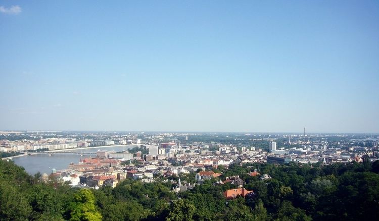
Budapest jbuda timelapse
Újbuda (lit. New Buda) is the 11th district of Budapest (Hungarian: Budapest XI. kerület), Hungary. It is the most populous district of Budapest with 137,426 inhabitants (2008). Until the 1890s, Újbuda's present territory was a field south of the historical town of Buda. The construction of a new residential area started in the 1900s, the present district was formed in 1930. From 1880 to 1980, Újbuda's population increased from 1,180 to 178,960. There are boulevards, avenues with tram lines, and communist-era housing estates in the district. Line 4 of the Budapest metro passes through Újbuda.
Contents
- Budapest jbuda timelapse
- Map of Budapest District XI Hungary
- Budapest tram 4 ride from jbuda k zpont to nyugati p lyaudvar
- Neighborhoods
- Population
- Twin towns Sister cities
- References
Map of Budapest, District XI., Hungary
Budapest tram 4 ride from jbuda k zpont to nyugati p lyaudvar
Neighborhoods
Population
Twin towns – Sister cities
Újbuda is twinned with:
References
Újbuda Wikipedia(Text) CC BY-SA