Kalpana Kalpana (Editor)

Østerbro

Updated on
Edit
Like
Comment
Share on FacebookTweet on TwitterShare on LinkedInShare on Reddit
Østerbro httpsuploadwikimediaorgwikipediacommons88

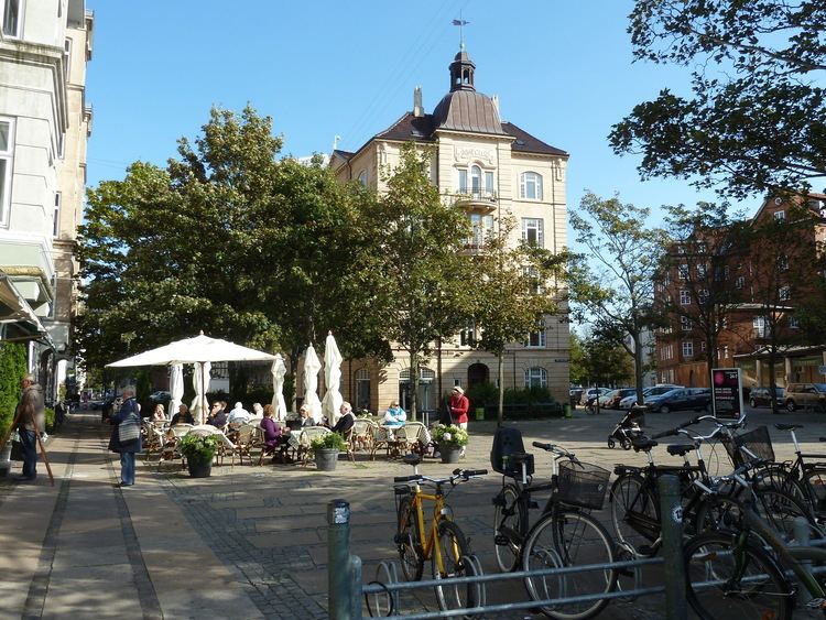
Østerbro is one of the 10 official districts of Copenhagen, Denmark. It is located just north of the city centre, outside the old city gate Østerport which, after it was moved around 1700, used to be located close to present-day Østerport Station. From the beginning, Østerbro has been a wealthy district, and it remains one of the most affluent areas in Copenhagen.

Contents

Map of %C3%98sterbro, Copenhagen, Denmark

Geography

Østerbro has an area of 11.84 km² and a population of 68,769. It is bordered by Nørrebro to the west, Hellerup to the north and Øresund to the east.

Landmarks

  • Danish Meteorological Institute
  • Den Frie Udstilling
  • Gasværket
  • Frihavn
  • Fælledparken
  • Garrison's Cemetery
  • Parken, the National Stadium
  • Rigshospitalet
  • Trianglen (“The Triangle”)
  • Østerport Station
  • Kastellet
  • Nordre Frihavnsgade
  • The Little Mermaid
  • In culture

  • In the popular children's novel, Number the Stars, the road Østerbrogade is featured in this book in which the Annemarie and her friends are running down Østerbrogade but are then stopped by a Nazi soldier.
  • References

    Østerbro Wikipedia