
Surface area 10.46 km (4.04 sq mi) Surface elevation 1,147 m Shore length 31.49 km | References NVE Area 10.46 km² | |
 | ||
Reference Norwegian Water Resources and Energy Directorate | ||
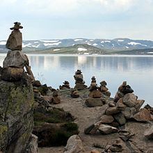
Ørteren is a lake in the municipality of Hol in Buskerud county, Norway.
Map of %C3%98rteren, 3595 Haugast%C3%B8l, Norway
Ørteren is located in Hardangervidda. Norwegian National Road 7 runs along the east side of the Lake. Ørteren is regulated for Ørteren Kraftverk. a hydroelectric power plant at Haugastøl. The power plant utilizes a drop of 160 meters between Ørteren and Sløtfjorden. It went into production in 1966. The dam and the intake were built by Oslo Energi and are currently operated by E- CO.
References
Ørteren Wikipedia(Text) CC BY-SA