
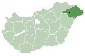
Time zone CET (UTC+1) Area 33.43 km² Local time Sunday 3:15 AM | County Szabolcs-Szatmár-Bereg Postal code 4755 Population 2,015 (2001) Area code 44 | |
 | ||
Weather 6°C, Wind E at 5 km/h, 82% Humidity | ||
Ököritófülpös is a village in Szabolcs-Szatmár-Bereg county, in the Northern Great Plain region of eastern Hungary.
Contents
Map of %C3%96k%C3%B6rit%C3%B3f%C3%BClp%C3%B6s, 4755 Hungary
History
In 1910, a fire broke out in a barn during a dancing-party which killed 312 people.
Geography
It covers an area of 33.43 km2 (13 sq mi) and has a population of 2015 people (2001).
References
Ököritófülpös Wikipedia(Text) CC BY-SA