
Time zone CET (UTC+1) Area 59.5 km² Local time Sunday 2:00 AM | Postal code 6767 Population 2,290 (2001) Area code 62 | |
 | ||
Weather 11°C, Wind SE at 11 km/h, 51% Humidity Points of interest Pannonian Basin, Ópusztaszer National Heritage, Reneszánsz Panoptikum, Csillagösvény Labirintus Ópusztaszer | ||
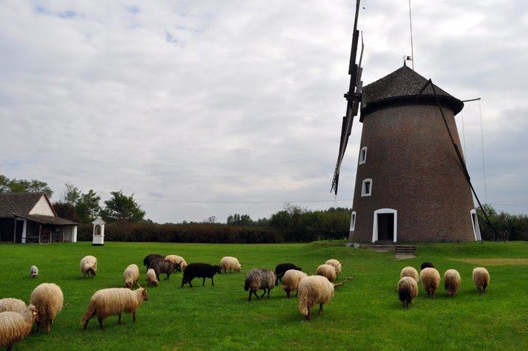
Ópusztaszer (till 1974 Sövényháza) is a village in Csongrád county, in the Southern Great Plain region of southern Hungary. It is most known as the location of the Ópusztaszer National Heritage Park.
Contents
Map of %C3%93pusztaszer, 6767 Hungary
Geography
It covers an area of 59.5 km2 (23 sq mi) and has a population of 2290 people (2001).
References
Ópusztaszer Wikipedia(Text) CC BY-SA