
Width 35 km (21.7 mi) Population 0 | Length 53 km (32.9 mi) Area 1,126 km² | |
 | ||
Island groups Canadian Arctic Archipelago, Queen Elizabeth Islands | ||
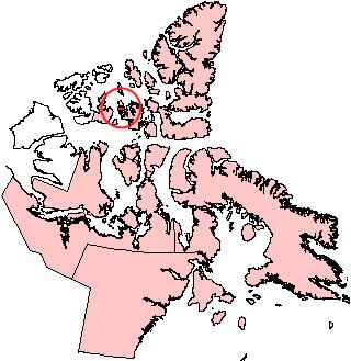
Île Vanier is one of the Canadian arctic islands in Nunavut, Canada. Located at 76°10'N 103°15'W, it has an area of 1,126 km2 (435 sq mi). It has length of 53 kilometres (33 mi) and width of 35 kilometres (22 mi). To the north, across the Arnott Strait, is Cameron Island, and to the south, across the Pearse Strait, is Massey Island.
Map of %C3%8Ele Vanier, Baffin, Unorganized, NU, Canada
The first known sighting of the island was by Robert D. Aldrich in 1851, but its insular nature wasn't proven until the 1950s.
Adam Range reaches elevations in excess of 220 meters.
References
Île Vanier Wikipedia(Text) CC BY-SA