
Island group Mascarene Islands | ||
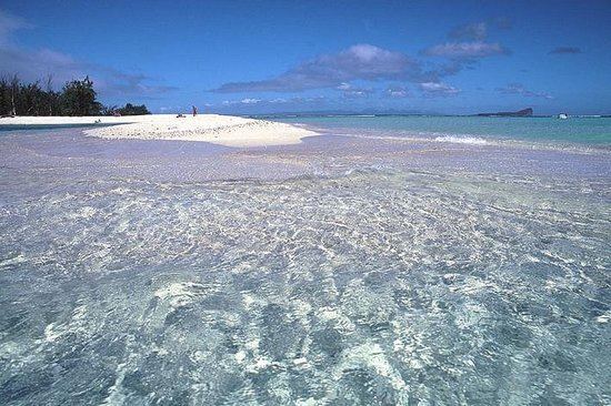 | ||
Catamaran to flat island mauritius le plate le maurice
Île Plate, also known as Flat Island, is a small island off the north coast of Mauritius. It is located 11 kilometres north of Cap Malheureux, the mainland's northernmost point. The small nature reserve of Coin de Mire lies between the two islands. The similarly sized Île Ronde lies 13 kilometres further east.
Contents
Map of Flat Island, Mauritius
Two small islets, Îlot Gabriel and Pigeon Rock, lie close to the shore of Île Plate.
As its name suggests, Île Plate is low-lying, and is in danger of possible submersion due to the historic rise in the sea-level. The island's structures include one of Mauritius's few operating lighthouses and a cemetery, the latter of which is testimony to the island's use as a quarantine station during the 19th century. There is also a small army base on the island.
Île Plate is a popular venue for snorkellers, and access to the island is possible via chartered yacht from the mainland. In addition the Pigeon Rock area harbors an internationally famous dive site called The Shark Pit where divers can witness sharks swirling within the pit for the rich oxygen available due to the crushing waves against the cliffs of Pigeon Rock