
Location Indian Ocean Highest elevation 245 m (804 ft) Area 51 km² | Archipelago Îles Kerguelen Highest point Mont des Moutons Elevation 245 m Max length 8 km | |
 | ||
Coordinates 48° 51′ 32″ S 69° 26′ 31″ E | ||
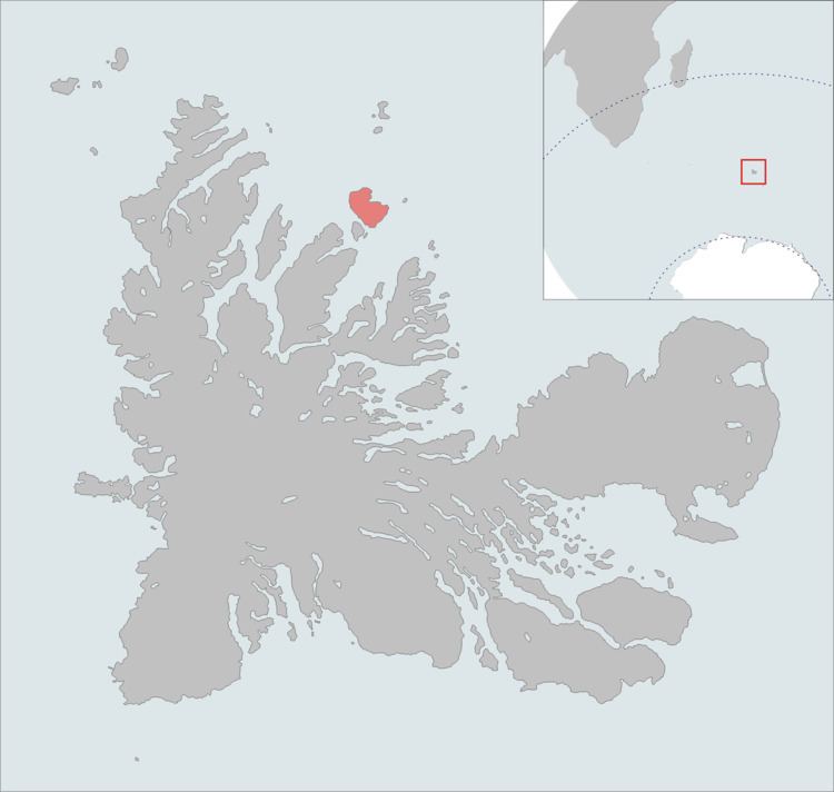
Île Howe is one of the islands of the Kerguelen archipelago, situated to the north of Île Foch, just after Île MacMurdo. It is about 8 km in length. Apart from rabbits, it is free of introduced animals.
Contents
Map of Howe Island, French Southern and Antarctic Lands
Important Bird Area
The island, along with the neighbouring, and relatively large, islands of Île Foch and Île Saint-Lanne Gramont, as well as the smaller Île MacMurdo, Île Briand, Îles Dayman and Îlots Hallet, has been identified by BirdLife International as an Important Bird Area (IBA) because of its value as a breeding site, especially for seabirds, with at least 29 species nesting in the IBA.
References
Île Howe Wikipedia(Text) CC BY-SA