
Canton Dainville Area 222 ha | Intercommunality Artois Local time Saturday 11:46 PM | |
 | ||
Weather 8°C, Wind NW at 6 km/h, 89% Humidity | ||
Étrun is a commune in the Pas-de-Calais department in the Hauts-de-France region of France.
Contents
Map of 62161 %C3%89trun, France
Geography
A farming village situated 4 miles (6.4 km) northwest of Arras, at the junction of the N39 and the D55 roads. The river Gy flows through the commune.
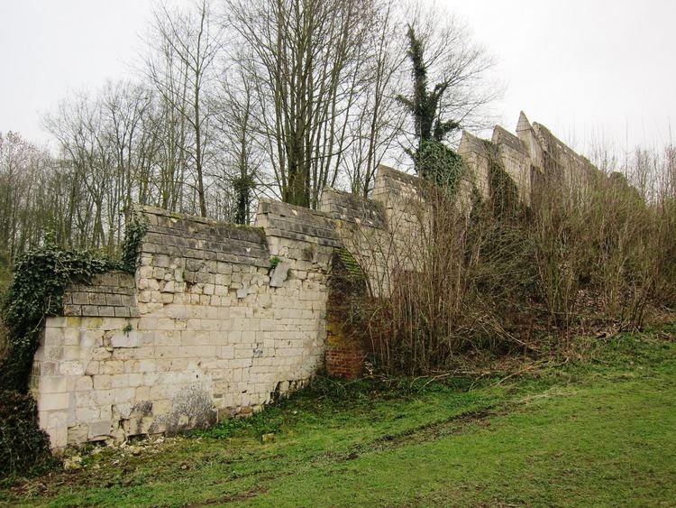
Places of interest
References
Étrun Wikipedia(Text) CC BY-SA