
INSEE/Postal code 76250 /76430 Population 1,007 (1999) | Region Normandy Time zone CET (UTC+1) Area 8.22 km² Local time Saturday 10:31 PM | |
 | ||
Weather 8°C, Wind E at 3 km/h, 90% Humidity | ||
Étainhus is a commune in the Seine-Maritime department in the Haute-Normandie region in northern France.
Contents
Map of 76430 %C3%89tainhus, France
Geography
Étainhus is a farming village in the Pays de Caux, situated some 10 miles (16 km) northeast of Le Havre, at the junction of the D234 and D39 roads.
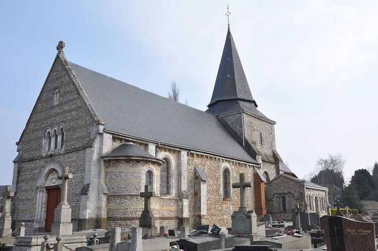
Places of interest
References
Étainhus Wikipedia(Text) CC BY-SA