
Canton Vitry-en-Artois Area 5.1 km² | Intercommunality Osartis Local time Saturday 10:31 PM | |
 | ||
Weather 10°C, Wind SW at 6 km/h, 84% Humidity | ||
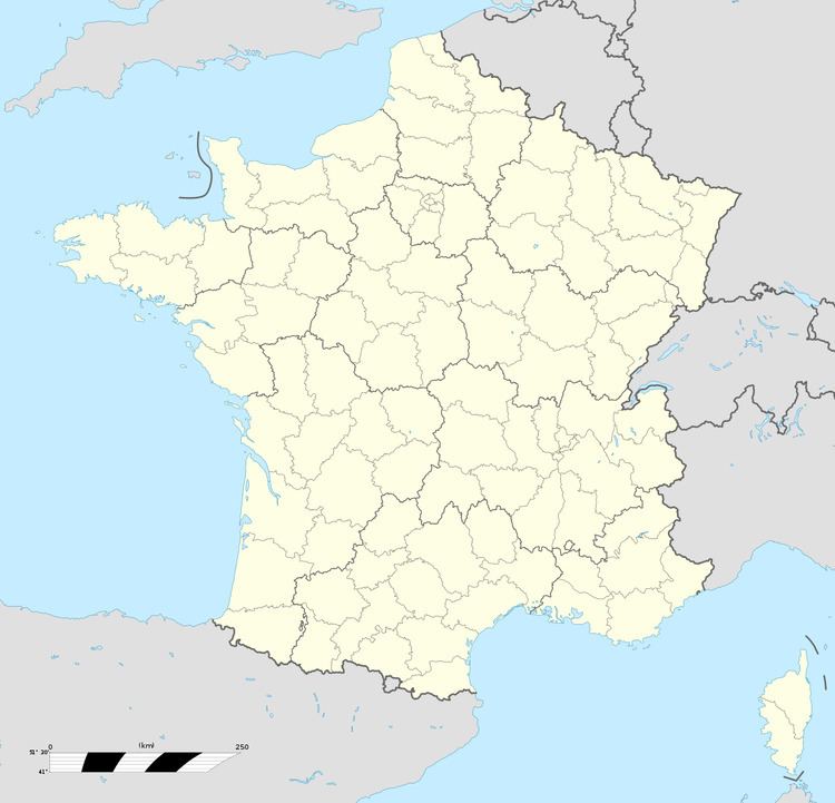
Étaing is a commune in the Pas-de-Calais department in the Hauts-de-France region of France.
Contents
Map of 62156 %C3%89taing, France
Geography
A farming village situated 11 miles (17.7 km) east of Arras, in the valley of the river Sensee, at the junction of the D39 and D9 roads. The A26 autoroute passes by about half a mile from the village.
Places of interest
References
Étaing Wikipedia(Text) CC BY-SA