
Time zone CET (UTC+1) Population 3,107 (1999) | Canton Liévin-Sud Area 117 ha Local time Sunday 8:21 AM | |
 | ||
Weather 4°C, Wind W at 3 km/h, 100% Humidity | ||
Tournoi seniors leu dit leauwette mp4
Éleu-dit-Leauwette is a commune in the Pas-de-Calais department in the Hauts-de-France region of France.
Contents
- Tournoi seniors leu dit leauwette mp4
- Map of C389leu dit Leauwette France
- Geography
- History
- Places of interest
- References
Map of %C3%89leu-dit-Leauwette, France
Geography
A suburban township, situated just 1 mile (1.6 km) south of the centre of Lens, at the junction of the D55, D58 and the A211 autoroute.
History
Completely destroyed during World War I and awarded the Croix de Guerre in 1920, this town was once home to many coal miners but is now a light industrial and dormitory commune.
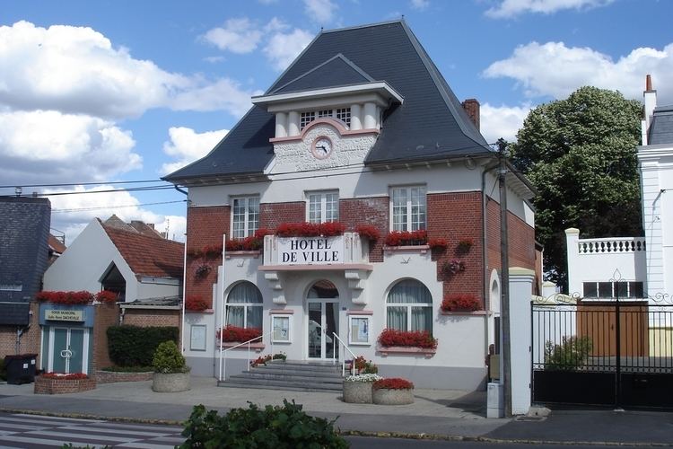
Places of interest
References
Éleu-dit-Leauwette Wikipedia(Text) CC BY-SA