
Country Albania Elevation 300 m (1,000 ft) Postal Code 5401-5402 Local time Sunday 4:42 AM Area code 0312 | Time zone CET (UTC+1) Vehicle registration SK | |
 | ||
Weather 8°C, Wind E at 6 km/h, 86% Humidity | ||
orovod albania
Çorovodë, also written as Çorovoda is a town and a former municipality in Berat County, Albania. At the 2015 local government reform it became a subdivision and the seat of the municipality Skrapar. The population at the 2011 census was 4,051. The name of the town derives from the Slavic for "black water". It was the seat of the former Skrapar District.
Contents
Map of %C3%87orovoda, Albania
The river Osum passes through the city. Upstream it forms canyons and caves which are the highest and the longest in Albania. The river provides opportunities for kayaking and other aquatic sport.
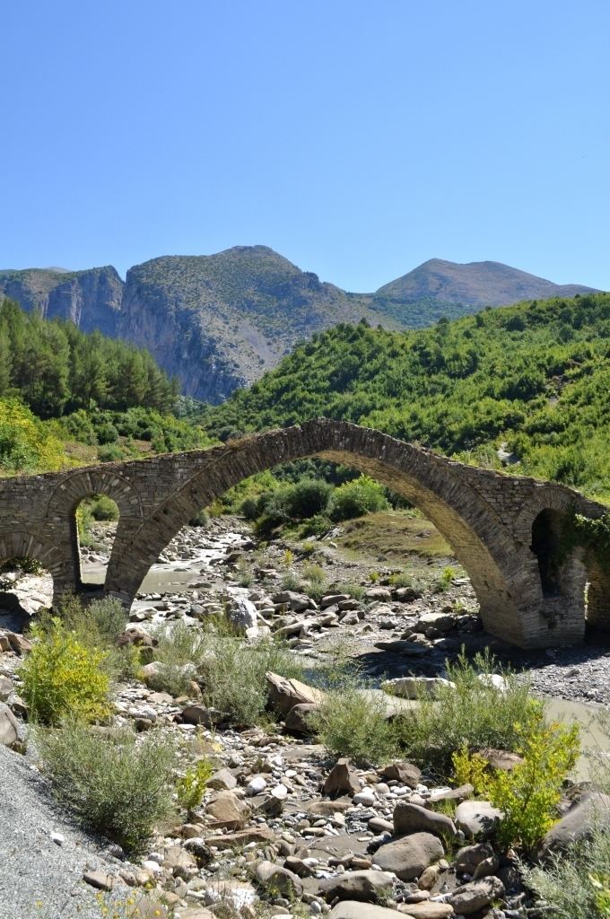
The smaller Çorovoda River also flows through the city and mouths into the Osum river. Five km northeast of Çorovodë it formed the Gradec Canyon. In one of its cliffs the presumably biggest cave of Albania named "Pirogosh" is located. Allegedly, two kings, Piro and Goshi, named it. Also of note is the Ottoman-era Kasabashi stone bridge over the Çorovoda river.
Some archaeologists believe Çorovodë might be the oldest city in Albania. They have found ruins of some churches and a buried castle in Prishta which might be more ancient than the castle of Berat.