Time zone EET (UTC+2) Population 910 (2012) | Elevation 560 m (1,840 ft) Postal code 33730 Area code 0324 | |
 | ||
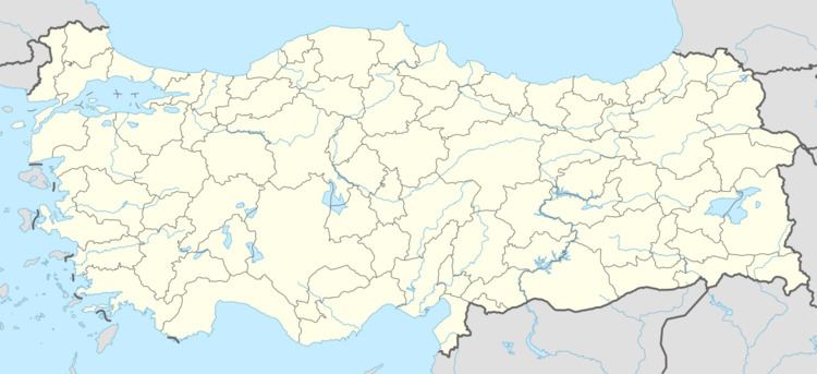
Çiriş is a village in Erdemli district of Mersin Province, Turkey. It is situated to the south of dense forestry of the Taurus Mountains. Distance to Erdemli is 12 kilometres (7.5 mi) and to Mersin is 48 kilometres (30 mi). The population of Çiriş was 910 as of 2012. The village was founded in a place full of ancient ruins. It was named after the Turkish name of the plant Asphodelus. The main econoımic activity of the village is farming. Various vegetables and fruits (including greenhouse crops) are produced. Tropical fruits like avocado and kiwifruit are also produced.
Map of %C3%87iri%C5%9F Mahallesi, 33730 Erdemli%2FMersin Province, Turkey
References
Çiriş, Erdemli Wikipedia(Text) CC BY-SA
