
Time zone EET (UTC+2) Licence plate 61 Area code 0462 | Elevation 120 m (390 ft) Postal code 61180 Population 4,520 (2012) | |
 | ||
District Trabzon central district | ||
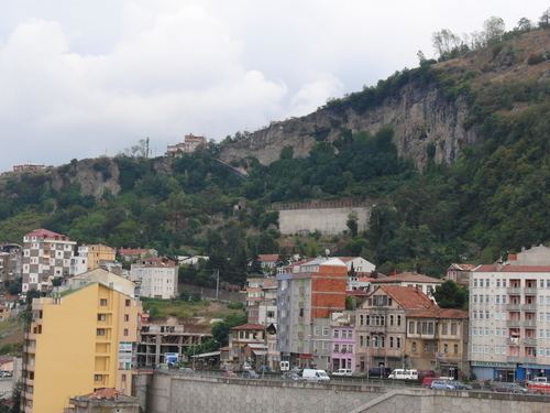
Çağlayan (literally "Waterfall") is a town in the central district (Trabzon) of Trabzon Province, Turkey. At 40°54′N 39°43′E it is situated along the valley of Altındere creek. It is on Turkish state highway which connects Trabzon to hinterland (and Sümela Monastery) . The distance to Trabzon is 16 kilometres (9.9 mi) . The population of the town is 4520 as of 2011. The area around Çağlayan was inhabited during the ancient ages. But Çağlayan is a relatively recent settlement. In 1946 owing to its situation along the valley, it was founded as a common market place of the neighbouring villages. It quickly flourished and In 1969 it was declared a seat of township. The economy of the town depends on agriculture. Lately kiwifruit production is promoted.