
Postal code 2150 Population 3,665 (2009) | County Akershus Time zone CET (UTC+1) Area 3.23 km² Local time Sunday 1:15 AM | |
 | ||
Weather 4°C, Wind S at 10 km/h, 98% Humidity | ||
Årnes is the administrative centre of Nes municipality, Akershus, Norway.
Contents
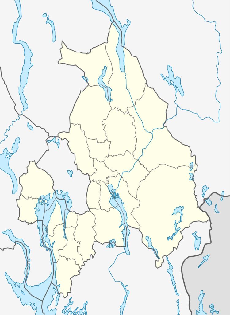
Map of 2150 %C3%85rnes, Norway
Its population (2005) is 3,140; the largest in Nes. Årnes is located in the north-east of Akershus county along the Glomma River, Norway's largest and longest, in Nes municipality. Areas that compose Årnes are among others Årnes sentrum, Runni, Drognes, Høie, Fjuk, Dragsjø, Kjus, Fjellfoten, Bodding, Henni, Husmo, Østgård, Bjørknes and Sagstua.
History
Årnes and the fields surrounding it was known as Årnes Gård (Årnes farm) until 1862 when the railway between Christiania and Kongsvinger was built. Årnes got a train-station and this made it easier to transport lumber and other materials from the village to the capital.
References
Årnes Wikipedia(Text) CC BY-SA