
Municipality Ibestad Elevation 18 m | Time zone CET (UTC+01:00) Local time Sunday 12:17 AM | |
 | ||
Weather -5°C, Wind NE at 13 km/h, 78% Humidity | ||
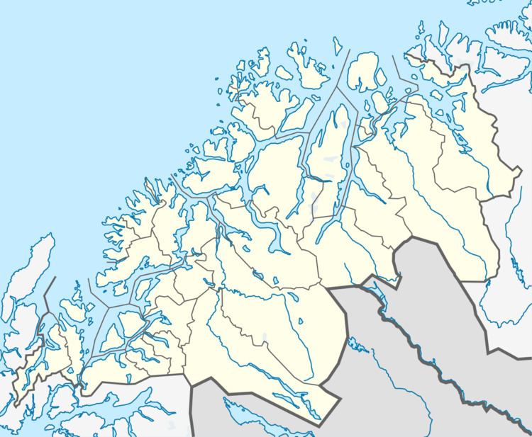
Å is a village in the municipality of Ibestad in Troms county, Norway. It is located about 26 kilometres (16 mi) east of the city of Harstad on the southwest side of the island of Andørja, along the Bygda strait which goes between the Vågsfjorden and the Astafjorden. The village of Å and the neighboring villages of Laupstad and Ånstad altogether have a total population (2001) of 205 residents.
Contents
Map of 9454 %C3%85, Norway
The village is about 4 kilometres (2.5 mi) north of Sørvika where the undersea Ibestad Tunnel connects Andørja island to Rolla island, where Hamnvik, the municipal center is located. The village is named after the river Å-elva, which flows past it from the nearby mountains of Snøtinden, Ristindend, and Åtinden–all of which are more than 1,000 metres (3,300 ft) above sea level.
The name
The village (originally a farm) was first mentioned in 1375 ("Aam"). The name was originally the plural of Old Norse á, which means "(small) river". (There is just one river here, so the plural form might be explained by the fact that the farm was divided in two parts.)