Country Djibouti Elevation 615 m Number of airports 1 | Region Tadjoura Local time Sunday 10:17 PM | |
 | ||
Weather 25°C, Wind SE at 19 km/h, 48% Humidity | ||
`Assa Gaila is a town in the northern Tadjoura region of Djibouti. It is a population center for the northern area, a frontier town with about 675 people.
Contents
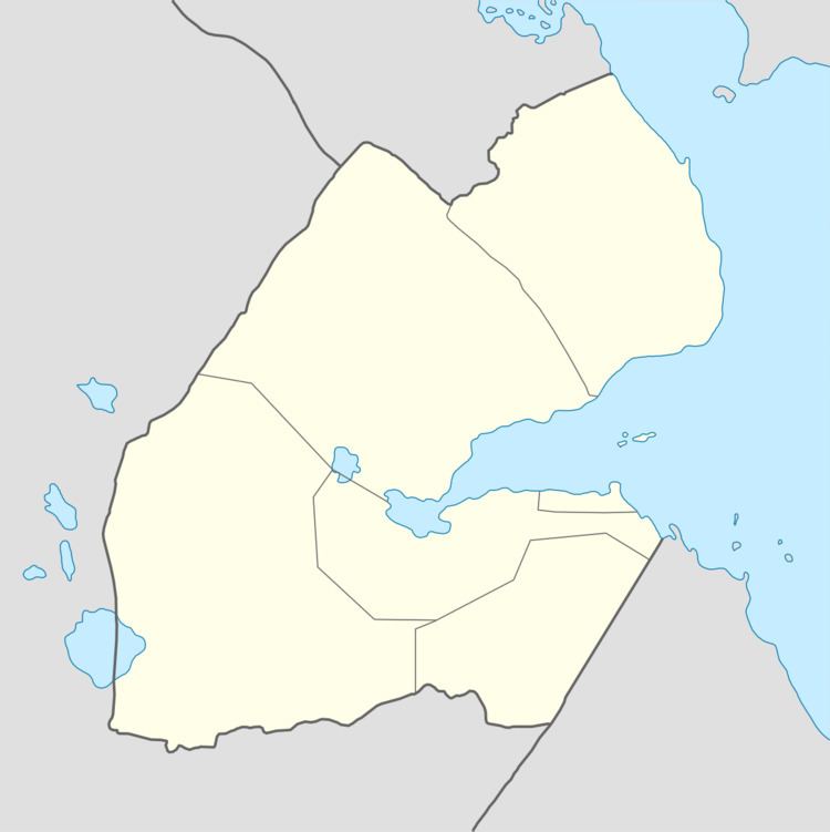
Map of Assa Ga%C3%AFla, Djibouti
History
Due to regional conflict in the early 1990s, government soldiers were considering evacuating the territory between the town and Randa.
Geography and Wildlife
Assa Gaila is located 20 kilometers from the border with Eritrea, and approximately 77 kilometers from Tadjoura. It is also connected by road to Dorra. The town is served by the Assa-Gueyla Airport. Local flora and fauna include spotted hyenas, acacia and Hyphaene thebaica palm.
Climate
Assa Gaila has a hot semi-arid climate (BSh) in Köppen-Geiger system, with the influence of mountain climate, the seasonal difference is minor.
References
`Assa Gaila Wikipedia(Text) CC BY-SA
