
3-digit postal code prefix 882 | Time zone WAT (UTC+1) Area 2,834 km² | |
 | ||
Weather 41°C, Wind E at 14 km/h, 7% Humidity | ||
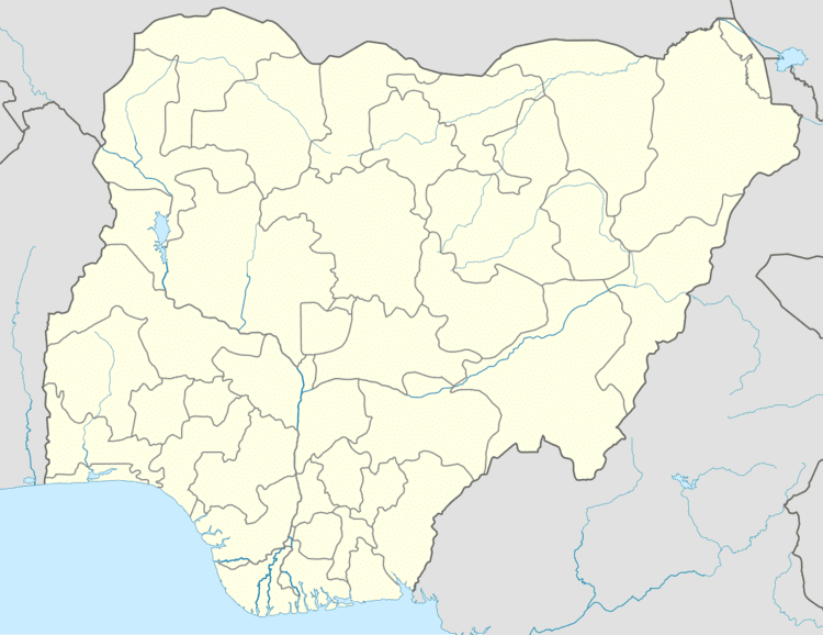
Zurmi is a Local Government Area in Zamfara State, Nigeria. Its headquarters are in the town of Zurmi at12°46′00″N 6°47′10″E.
It has an area of 2,834 km² and a population of 293,837 at the 2006 census.
The postal code of the area is 882. it shares border with Niger republic from the North and Katsina state from East its end stop at the most populated village Gurbin Bore under Kwashabawa ward after Crossed the inter-state Bridge constructed in the early 1990, 4 years after the establishment of the Whole state in 1996.
References
Zurmi Wikipedia(Text) CC BY-SA