
Country Uganda | Elevation 1,600 m | |
 | ||
Zombo, Uganda, often referred to simply as Zombo, is a town in Zombo District, West Nile sub-region, Northern Uganda.
Contents
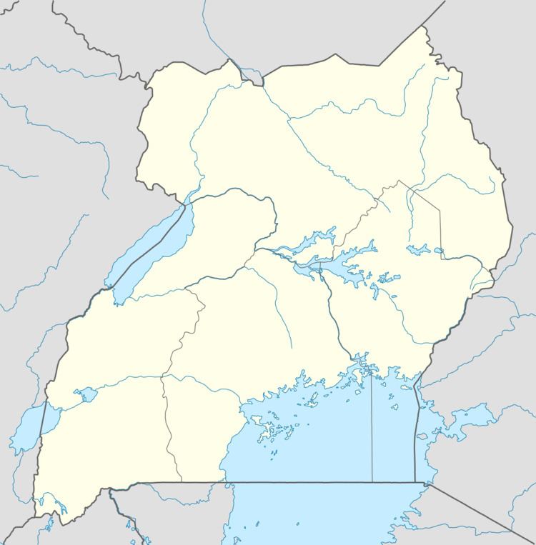
Map of Zombo, Uganda
Location
Zombo lies approximately 27 kilometres (17 mi), by road, west of Nebbi, the nearest large town. This location is approximately 70 kilometres (43 mi), by road, south of Arua, the largest city in the sub-region. The coordinates of the town are: 02° 30' 54N, 30° 54' 06E (Latitude: 2.5150; Longitude: 30.9100).
Population
As of June 2014, the population of Zombo, Uganda is not publicly known. The next national population census is scheduled for August 2014.
Points of interest
The following points of interest lie within the town limits or close to the edges of town:
References
Zombo, Uganda Wikipedia(Text) CC BY-SA