
Time zone EST (UTC-5) Elevation 172 m | ZIP code 47590 Local time Sunday 12:08 AM | |
 | ||
Weather 6°C, Wind NE at 6 km/h, 87% Humidity | ||
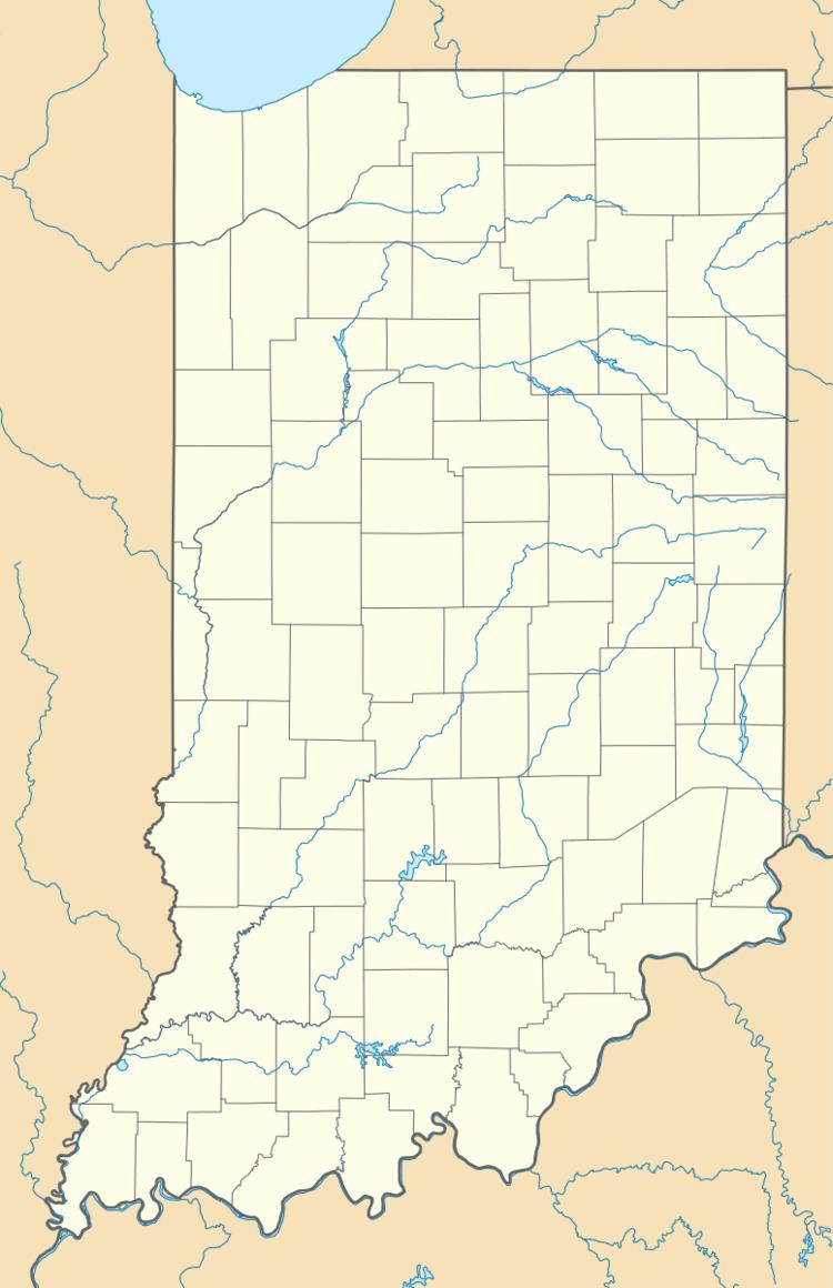
Zoar is an unincorporated community in Pike and Dubois counties, in the U.S. state of Indiana.
Contents
Map of Zoar, IN 47541, USA
History
A church at Zoar was built in 1871, and its schoolhouse was built in 1897. A post office was established at Zoar in 1900, and remained in operation until it was discontinued in 1907. The community was likely named after Zoar, Ohio.
Geography
Zoar is located at 38°16′09″N 87°04′23″W.
References
Zoar, Indiana Wikipedia(Text) CC BY-SA