
Country Netherlands Time zone CET (UTC+1) Population 160 (2008) | Municipality Veldhoven Local time Sunday 4:27 AM Province North Brabant | |
 | ||
Weather 7°C, Wind SW at 5 km/h, 94% Humidity | ||
Zittard is a hamlet in the municipality of Veldhoven in the province of North Brabant, the Netherlands. The hamlet is located on a road with the same name and consists mostly of farms. As of 2008, Zittard has a population of 160 people.
Contents
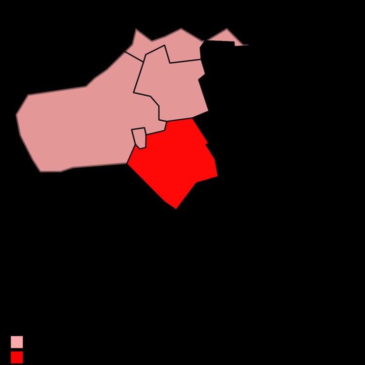
Map of Zittard, Netherlands
Etymology
An official document of the year 1348 lists the name Sittert. The name Zittard is of the same source as the name of the city Sittard in Limburg. The name refers to an area with grasslands or a place with a stable for cattle and sheep.
Topography
Zittard is located two kilometres south of the village Oerle and two kilometres east of the residential area Veldhoven Dorp. The hamlet lies along a road with the same name, which connects the hamlet Zandoerle with the hamlet Schoot. Southwest of Zittard flows the stream Poelenloop.
Nature and landscape
West of Zittard lies the forest area Molenvelden, named after a windmill which was present here from 1360 until 1914. The forest area Zandoerlese Bossen can be found in the north. This forest is known for its network of hedges, which was constructed in the Middle Ages to mark the boundaries between the fields.