
Country Mexico Established 1930 Elevation 1,380 m (4,530 ft) Area 159.9 km² | State Michoacán Municipal seat Ziracuaretiro Time zone CST (UTC-6) | |
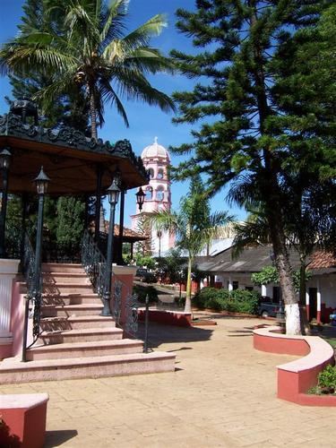 | ||
Ziracuaretiro is a municipality in the Mexican state of Michoacán.
Contents
Map of Ziracuaretiro, Michoac%C3%A1n, Mexico
Political entity
Ziracuaretiro is located on the central part of the state at 121 km from the state capital of Morelia. It has a territory of 159.93 km² bordering with Tingambato, Santa Clara, Taretan and Uruapan municipalities, the meaning od the name is: "the place where the warmth ends and the cold starts"
Geography and environment
It has an average altitude of 1,380 meters above the sea level and it also has a tropical climate in summer and the termperature comes from 8.0 to 37.0 Celsius degrees.
The ecosystem is mostly dominated by mixed forest with species such as pine and oak and on the rainforest species such as cedar tree, enterolobium cyclocarpum,and lysiloma acapulcensis. Typical fauna includes deears, rabbits, fox, quirrel, crow, guacamaya, badger, coyote, sparrow and peckerwood.
History
Ziracuaretiro means: "the place where the warmth ends and the cold starts". It was settled years before the arrival of the Spanish people, because of the nature and for the ease to plant fruits. Don Vasco de Quiroga planted 5 different species of bananas which were taken from the island of Santo Domingo.
The current municipality was formed in 1922.