
District Al-Qusayr Time zone EET (UTC+3) Population 2,250 (2004) | Subdistrict Al-Qusayr Local time Sunday 4:48 AM | |
 | ||
Weather 9°C, Wind W at 6 km/h, 80% Humidity | ||
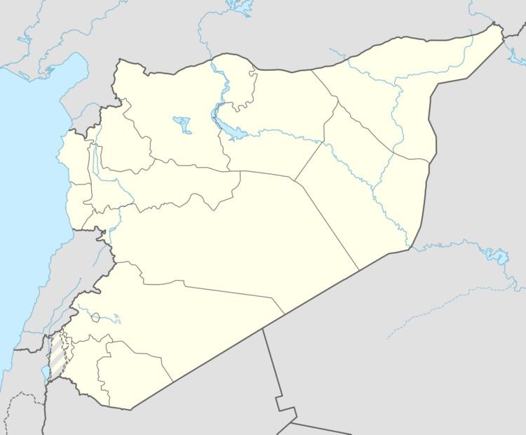
Zira'a (Arabic: زراعة, also spelled Zerraa, Zirhagh or Zar'a) is a village in central Syria, administratively part of the Homs Governorate, located southwest of Homs. Situated on a hill just east of the Orontes River, nearby localities include Rableh to the immediate southwest, al-Qusayr to the north, Jandar to the northeast and Hisyah to the southeast. According to the Central Bureau of Statistics (CBS), Zira'a had a population of 2,250 in the 2004 census. Its inhabitants are predominantly Sunni Muslims.
Map of %D8%A7%D9%84%D8%B2%D8%B1%D8%A7%D8%B9%D8%A9%D8%8C Syria%E2%80%AD
The ancient site of Riblah was located on the site of the village and not in nearby Rableh after which it was named. Between the 7th and 9th centuries BCE Riblah served as the principal military and administrative center of the Assyrians in Syria. Although a small place today, in the early 19th-century during late Ottoman Empire rule, Zira'a was described as a village larger than al-Qusayr, which is now a city. It possessed an abundance of cultivated fields and trees.