
Country Nigeria Time zone WAT (UTC+1) | State Taraba State Area 1,030 km² | |
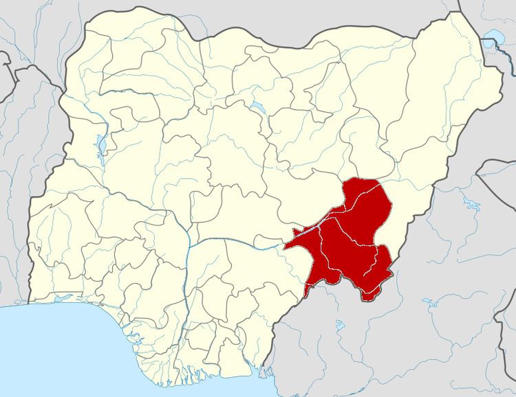 | ||
Zing is a Local Government Area in Taraba State, Nigeria. Its headquarters are in the town of Zing.
Map of Zing, Nigeria
It has an area of 1,030 km² and a population of 127,363 at the 2006 census. 98% people in Zing are predominantly Mumuye with twelve clans.
The postal code of the area is 661.
References
Zing, Nigeria Wikipedia(Text) CC BY-SA