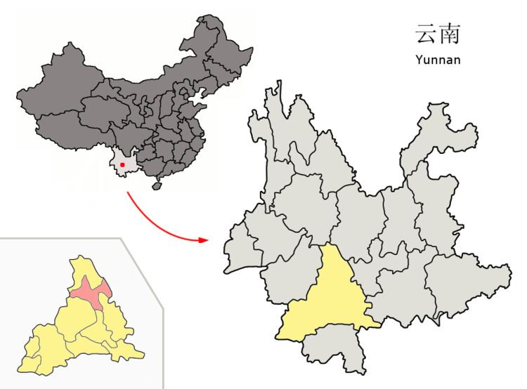
Postal code 666500 Area 4,223 km² Area code 0879 | GB/T 2260 CODE 530825 Elevation 1,741 m | |
 | ||
Time zone China Standard Time (UTC+8) Website | ||
Zhenyuan Yi, Hani and Lahu Autonomous County (镇沅彝族哈尼族拉祜族自治县; pinyin: Zhènyuán yízú hānízú lāhùzú Zìzhìxiàn) is an autonomous county under the jurisdiction of Pu'er Prefecture, Yunnan Province, China.
Contents
Map of Zhenyuan, Pu'er, Yunnan, China
Ethnic groups
The Zhenyuan County Almanac (1995:74-79) lists the following ethnic groups and locations. All population statistics, given in parentheses, are as of 1988.
References
Zhenyuan Yi, Hani and Lahu Autonomous County Wikipedia(Text) CC BY-SA
