Coat of arms Flag Local time Sunday 5:37 PM | Area 162 km² | |
 | ||
Administrative center of closed administrative-territorial formation of Zelenogorsk Urban okrug Zelenogorsk Urban Okrug Weather 2°C, Wind W at 13 km/h, 40% Humidity | ||
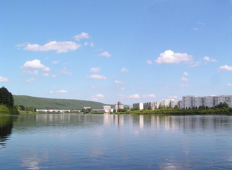
Zelenogorsk (Russian: Зеленогорск; [zʲɪlʲɪnɐˈgorsk]) is a closed town in Krasnoyarsk Krai, Russia, located on the left bank of the Kan River 180 kilometers (110 mi) above its confluence with the Yenisei River. It was formerly known as Krasnoyarsk-45 (Красноя́рск-45) and was involved in enriching uranium for the Soviet nuclear program. Population: 66,056 (2010 Census); 69,355 (2002 Census).
Contents
- Map of Zelenogorsk Krasnoyarsk Krai Russia 663690
- History
- Administrative and municipal status
- International relations
- References
Map of Zelenogorsk, Krasnoyarsk Krai, Russia, 663690
History
It was granted town status in 1956.
As a closed town, it went under the codename Krasnoyarsk-45 until Russian President Boris Yeltsin decreed in 1992 that such cities could use their historical names. The town appeared on no official maps until then. As is the tradition with Soviet towns containing secret facilities, Krasnoyarsk-45 is actually a number of post office and implied that the place was located directly in the city of Krasnoyarsk, but really at the distance of 160 kilometers (99 mi) from it.
Administrative and municipal status
Within the framework of administrative divisions, it is incorporated as the closed administrative-territorial formation of Zelenogorsk—an administrative unit with the status equal to that of the districts. As a municipal division, the closed administrative-territorial formation of Zelenogorsk is incorporated as Zelenogorsk Urban Okrug.
International relations
It is a sister city with Newburyport, Massachusetts, United States.
