
Local time Sunday 2:49 AM | ||
 | ||
Weather 8°C, Wind NE at 8 km/h, 99% Humidity | ||
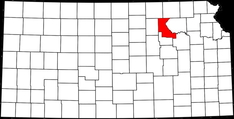
Zeandale is an unincorporated community in Riley County, Kansas, United States. It is located 8 miles (13 km) east of Manhattan and is part of the Manhattan Metropolitan Statistical Area. The elevation of the community is 1,138 feet (347 m) above sea level. The total population of the township was 357 at the 2000 US census. Its estimated population is roughly 60 people in the town itself.
Contents
Map of Zeandale, KS 66502, USA
History
Zeandale was named by J.H. Pillsbury who settled the township in 1855. The name is said to have been taken from the Greek, zea meaning "corn" and the English, dale.
Zeandale had a post office between 1857 and 1944.
Zeandale is home to two 4-H clubs and the Zeandale Community Church. The Zeandale 4-H club meets in the former Zeandale High School, turned community building, and the Pillsbury 4-H club meets in the Pillsbury School one mile south.
It is also home to Zeandale Community Church, established in 1896. The church was originally associated with the Stone-Campbell Restoration movement (Christian Church), but was re-established in the 1950s as a non-denominational community church.
The town is home to a rural, volunteer fire department, updated in 2002 with a new building.
Growth
Zeandale almost grew by a factor of four in 2005, when a Manhattan developer cited land for sale surrounding Zeandale as prime real-estate for the growing Manhattan market. However, Riley County zoning regulations prevented the subdivision, and inevitable incorporation, to the joys of the local farming population.