
Basin size 5,020 km (1,940 sq mi) Basin area 5,020 km² Country Russia | Length 219 km Mouth Kamadeva Mouth elevation 53 | |
 | ||
Main source Mikhaylovka, Leninogorsky District, Tatarstan, Russia River mouth Kama River,near Nizhnekamsk, Tatarstan, Russia
53 m (174 ft) Discharge Average rate:
489 m/s (17,300 cu ft/s), maximum in 1979 near Staroye Palchikovo | ||
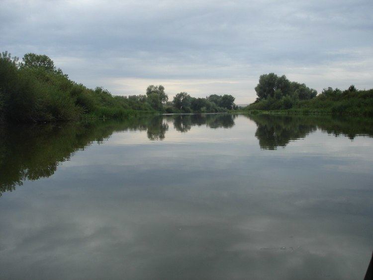
The Zay (Russian: Зай; Tatar: Зәй, Zäy, [zæɪ]) is a river in Tatarstan, Russian Federation, a left-bank tributary of the Kama River. It is 270 kilometres (170 mi) long, and its drainage basin covers 5,020 square kilometres (1,940 sq mi). It begins near Mikhaylovka, Leninogorsky District, Tatarstan and falls to the Kama River 7 kilometres (4 mi) south-west of Nizhnekamsk.
Map of r. Zay, Republic of Tatarstan, Russia
At its headwaters the river is named the Steppe Zay (Russian: Степной Зай, Stepnoy Zay, Tatar: Cyrillic Дала Зәе, Latin Dala Zäye). The lower reach of the river after the confluence with Forest Zay River, 55 kilometres (34 mi), is named simply Zay. Also, one of headstream Steppe Zay’s tributaries is also named Zay. Other major tributaries are the Moshkara, Zay-Karatay, Ursala, Aktashka, and Shumyshka rivers.
The mineralization varies from 2000-3000 to 5000–8000 mg/l. Average sediment deposition at the river mouth per year is 130 millimetres (5.1 in). Drainage is regulated. There are two reservoirs, Zainsk and Karabash Reservoirs constructed in Zay valley. Since 1978 it is protected as a natural monument of Tatarstan. Zainsk, Almetyevsk and Karabash, Tatarstan are along the river.