
Country Ukraine Time zone EET (UTC+2) Area code +380 61 Area 56 km² Municipality Zaporizhia Municipality | Established 23 May 1969 Postal index 330600 KOATUU 2310136600 Population 52,191 (2012) | |
 | ||
The Zavodskyi District (Ukrainian: Заводський район, Zavods'kyi raion) is one of seven administrartive urban districts (raions) of the city of Zaporizhia, located in southern Ukraine. Its population was 60,390 in the 2001 Ukrainian Census, and 52,191 as of 2012.
Contents
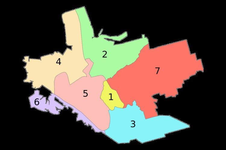
Map of Zavods'kyi district, Zaporizhia, Zaporizka, Ukraine
Geography
The Zavodskyi District is named in such a way due to the fact that a large amount of the city's factories are located within its boundaries. The district is located in the northern portion of the city, on the left-bank of the Dnipro River. Its total area is 56 km2 (22 sq mi).
History
On 23 May 1969, the Zavodskyi District was established out of a portion of the Ordzhonikidzevskyi District by a decree of the Presidium of the Verkhovna Rada of the Ukrainian Soviet Socialist Republic (No.1901-ІХ).