
Time zone VLAT (UTC+10:00) Founded 18 October 1928 | Population (2010 Census) 3,101 inhabitants Urban-type settlement status since 1940 Local time Sunday 12:24 PM | |
 | ||
Weather 11°C, Wind W at 21 km/h, 32% Humidity | ||
Zarubino (Russian: Зару́бино) is an urban locality (an urban-type settlement) in Khasansky District of Primorsky Krai, Russia and a port on the Posyet Bay. Population: 3,101 (2010 Census); 3,522 (2002 Census); 5,306 (1989 Census).
Contents
Map of Zarubino, Primorskiy Kray, Russia, 692725
History
It was established on October 18, 1928.
Transportation
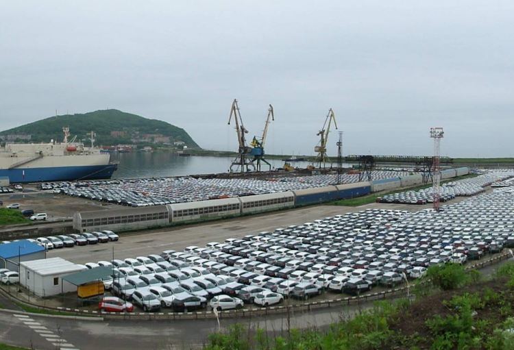
The Port of Zarubino serves the settlement. In September 2014 a joint Chinese-Russian plan was announce to expand its capacity to 60 million tonnes per year which would make it one of the largest ports in north Asia. There is a ferry across the gulf to Sokcho.
A railway line from the port connects to railway lines running north to Vladivostok, west to Jilin Province in China and south to Rajin in North Korea via Khasan, respectively.
References
Zarubino, Primorsky Krai Wikipedia(Text) CC BY-SA