
Municipal seat Zaragoza Area 8,184 km² Local time Saturday 6:55 PM | Website Official site ] Population 12,411 (2005) Area code 26450 | |
 | ||
Weather 30°C, Wind E at 19 km/h, 28% Humidity | ||
Zaragoza is one of the 38 municipalities of Coahuila, a state in north-eastern Mexico. The municipal seat lies at Zaragoza. The municipality covers an area of 8183.5 km². It is near the Mexico–US border with Texas.
Map of Zaragoza, Coahuila, Mexico
Zaragoza has an abundance of natural resources like fluoride, silver and lead. Zaragoza's local economy consists of agriculture, some industry, livestock, tourism and commercial/retail.
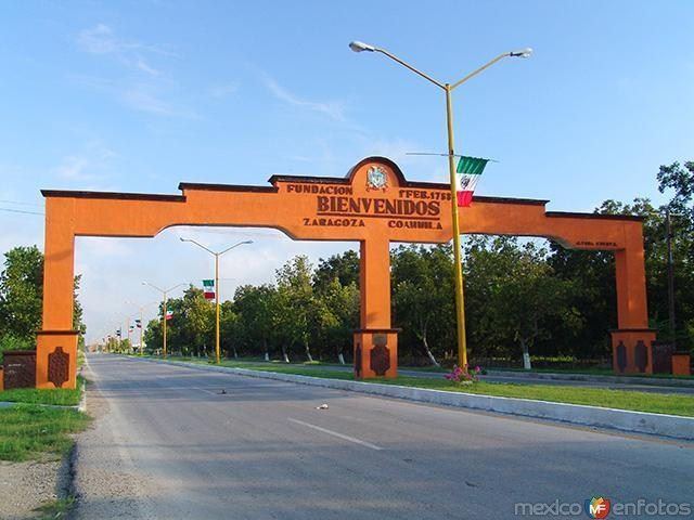
It is one of the cities in the "5 manantiales" (5 springs) region in northern Coahuila. The celebrations commemorating Zaragoza's founding on 1 February 1753 are a popular attraction, and feature a traditional "cabalgata" or horse trail ride with horse pulled vintage buggies. On 7 August 1827, the name of the town was changed to San Fernando de Rosas, and to Zaragoza on the 27 February 1868.
Zaragoza has a local television station "TELECABLE", and a local radio station called "XEZR 800am".