
Population 9,601 (2005) | Area 820.9 km² Capital Zapotitlán Tablas | |
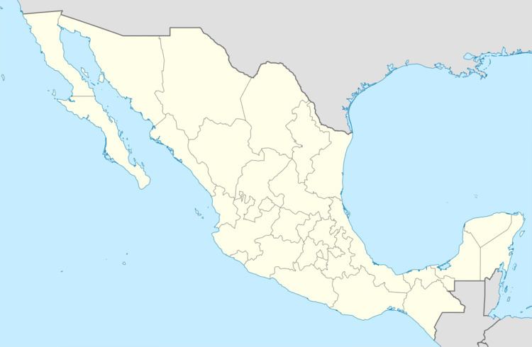 | ||
Zapotitlán Tablas is one of the 81 municipalities of Guerrero, in south-western Mexico. The municipal seat lies at Zapotitlán Tablas. The municipality covers an area of 820.9 km².
Map of Zapotitl%C3%A1n Tablas, Guerrero, Mexico
In 2005, the municipality had a total population of 9,601.
References
Zapotitlán Tablas (municipality) Wikipedia(Text) CC BY-SA