
Time zone WAT (UTC+1) Area 601 km² | 2011 1989 3-digit postal code prefix 824 | |
 | ||
Weather 28°C, Wind NE at 13 km/h, 16% Humidity | ||
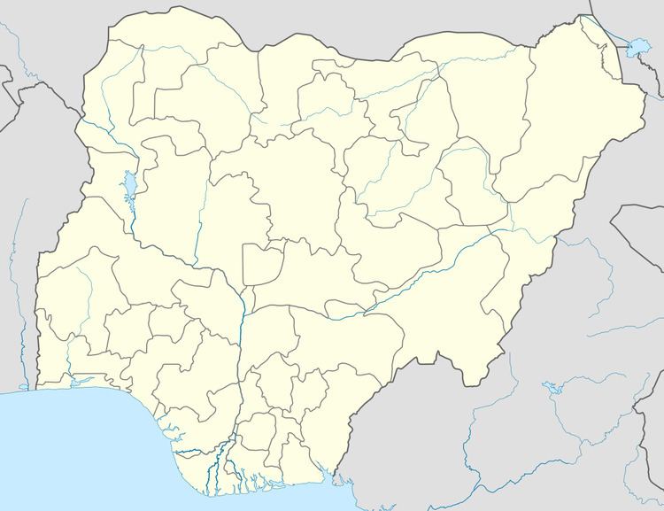
Zango (Zangon Daura) is a Local Government Area in Katsina State, Nigeria, sharing a border with the Republic of Niger. Its headquarters are in the town of Zango in the north of the area at13°05′00″N 8°29′00″E.
It has an area of 601 km² and a population of 154,743 at the 2006 census.
The postal code of the area is 824.
References
Zango, Nigeria Wikipedia(Text) CC BY-SA