
Elevation 606 m Population 35 (2006) | Postal code 391 53 Area 4.98 km² | |
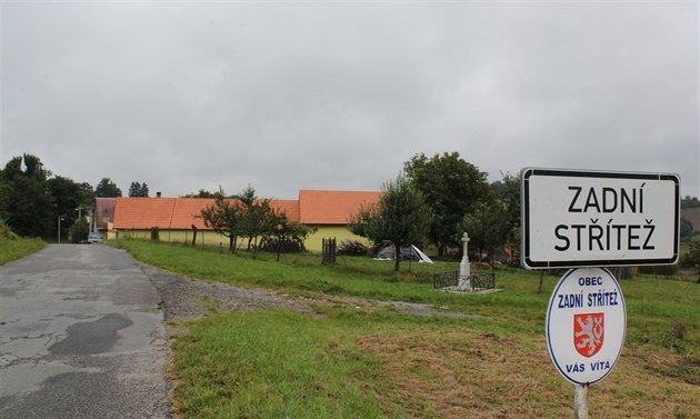 | ||
Zadní Střítež is a village and municipality (obec) in Tábor District in the South Bohemian Region of the Czech Republic.
Map of 391 43 Zadn%C3%AD St%C5%99%C3%ADte%C5%BE, Czechia
The municipality covers an area of 4.98 square kilometres (1.92 sq mi), and has a population of 35 (as at 28 August 2006).
Zadní Střítež lies approximately 21 kilometres (13 mi) north-east of Tábor, 67 km (42 mi) north-east of České Budějovice, and 75 km (47 mi) south-east of Prague.
References
Zadní Střítež Wikipedia(Text) CC BY-SA