
Country Greece Lowest elevation 0 m (0 ft) Postal code 250 03 Local time Sunday 4:25 PM Administrative region Western Greece Regional unit Achaea | Highest elevation 660 m (2,170 ft) Time zone EET (UTC+2) Vehicle registration AX Municipality Kalavryta Municipal unit Kalavryta | |
 | ||
Weather 15°C, Wind E at 11 km/h, 41% Humidity | ||
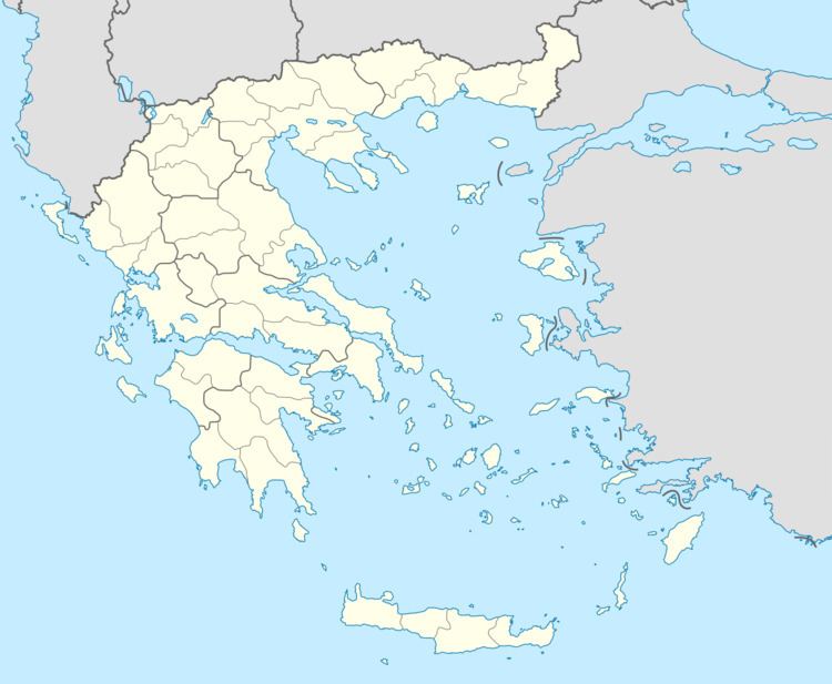
Kato Zachlorou (Greek: Κάτω Ζαχλωρού) is a village and a community in eastern Achaea, Greece. It is built on a mountain slope on the left bank of the river Vouraikos, which forms a narrow gorge. The community consists of the villages Kato Zachlorou and Ano Zachlorou, and the Mega Spilaio monastery. It is 11 km (7 miles) south of Diakopto, and 9 km (6 miles) northeast of Kalavryta. In 2011 Kato Zachlorou had a population of 38 for the village, and 53 for the community. The narrow gauge Diakofto–Kalavryta Railway runs through the village.
Map of Zachlorou 250 01, Greece
References
Zachlorou Wikipedia(Text) CC BY-SA