
Area 9.03 km² | ||
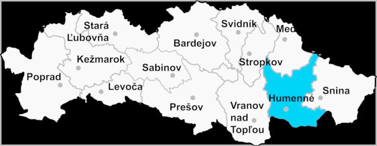 | ||
Závada is a village and municipality in Humenné District in the Prešov Region of north-east Slovakia.
Contents
Map of 094 08 Z%C3%A1vada, Slovakia
History
In historical records the village was first mentioned in 1454.
Geography
The municipality lies at an altitude of 230 metres and covers an area of 9.033 km². It has a population of about 81 people.
References
Závada, Humenné District Wikipedia(Text) CC BY-SA