
Area 10.26 km² | Postal code 378 16 Elevation 423 m Local time Sunday 7:28 PM | |
 | ||
Weather 17°C, Wind N at 11 km/h, 51% Humidity | ||
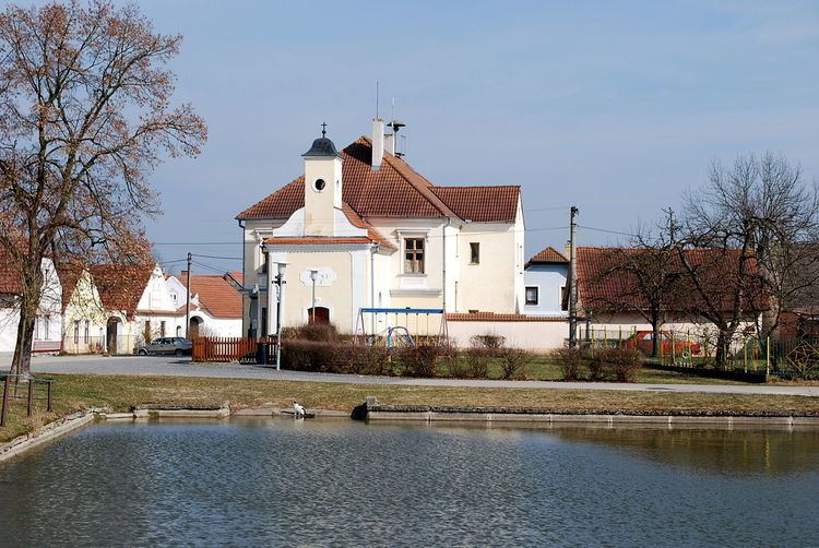
Záblatí is a village and municipality (obec) in Jindřichův Hradec District in the South Bohemian Region of the Czech Republic.
Map of 379 01 Z%C3%A1blat%C3%AD, Czechia
The municipality covers an area of 10.26 square kilometres (3.96 sq mi), and has a population of 85.
Záblatí lies approximately 25 kilometres (16 mi) west of Jindřichův Hradec, 21 km (13 mi) north-east of České Budějovice, and 111 km (69 mi) south of Prague.
References
Záblatí (Jindřichův Hradec District) Wikipedia(Text) CC BY-SA