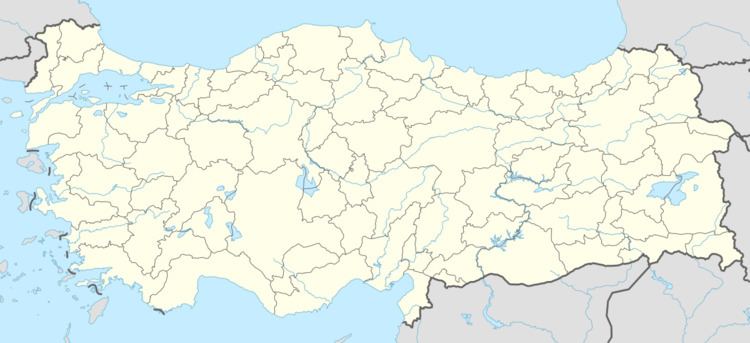
Country Turkey District Arhavi Time zone EET (UTC+2) | Province Artvin Province Elevation 736 m (2,415 ft) Population 151 (2011) | |
 | ||
Yukarışahinler is a village in the District of Arhavi, Artvin Province, Turkey. As of 2010, it had a population of 171 people.
Contents
- Map of YukarC4B1C59Fahinler 08290 YukarC4B1C59Fahinler KC3B6yC3BC2FArhavi2FArtvin Turkey
- History
- Geography
- Climate
- Economy
- Mukhtar
- Transportation
- References
Map of Yukar%C4%B1%C5%9Fahinler, 08290 Yukar%C4%B1%C5%9Fahinler K%C3%B6y%C3%BC%2FArhavi%2FArtvin, Turkey
History
It gained village status before 1965. The old name of village was "Jileni Napşit".
Geography
Güvercinli is located to the north, Derecik is located to the south, Tepeyurt is located to the east, and Ulukent is located to the west of the village. The altitude of the village is 736 meters.
Climate
The climate of the village is in the Black Sea climate.
Economy
The villages economy is based on agriculture and animal husbandry. There are two place of tea intake belonging to Lipton and Çaykur in village.
Mukhtar
Mukhtars according to selected years:
2009 - Turan Toraman 2004 - Coşkun Atalan 1999 - Coşkun Atalan 1994 - Coşkun Atalan 1989 - İmdat Yıldızbayrak 1984 - İmdat Yıldızbayrak 1977 - Mustafa Özyılmaz 1973 - Mustafa ÖzyılmazTransportation
The village is 87 km away from the center of Artvin Province and 11 km away from the Arhavi town center.
References
Yukarışahinler, Arhavi Wikipedia(Text) CC BY-SA
