
Width 7 km (4.3 mi) Highest point Vattafjellet Elevation 173 m Municipality Vikna | Length 25 km (15.5 mi) Highest elevation 173 m (568 ft) Area 82 km² | |
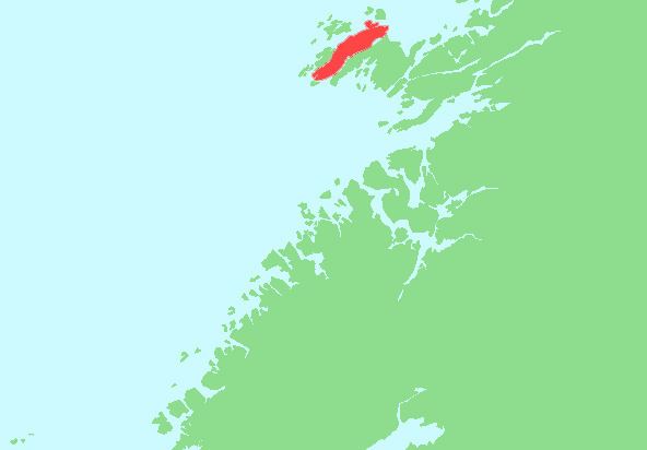 | ||
Ytter-Vikna (sometimes Ytre Vikna) is one of the three major islands in the municipality of Vikna in Nord-Trøndelag county, Norway. It is located in the western part of Vikna. Norwegian County Road 770 crosses the 82-square-kilometre (32 sq mi) island. The villages of Austafjord and Valøya are located on this island.
Map of Ytter-Vikna, 7900 R%C3%B8rvik, Norway
References
Ytter-Vikna Wikipedia(Text) CC BY-SA