
Width 4.3 km (2.67 mi) Highest point Sandstadkammen Elevation 210 m Municipality Levanger | Length 13.5 km (8.39 mi) Highest elevation 210 m (690 ft) Area 28 km² | |
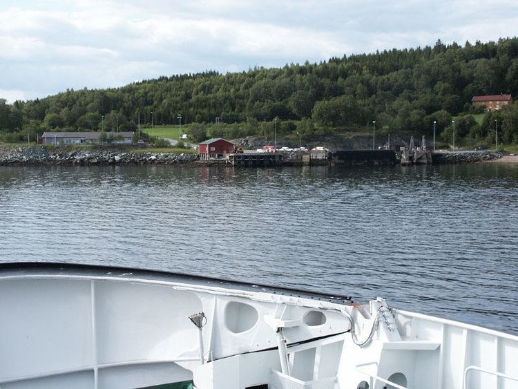 | ||
Ytterøya is an island in the Trondheimsfjord in the municipality of Levanger in Nord-Trøndelag county, Norway. The 15-kilometre (9.3 mi) long island has an area of 27.8 square kilometres (10.7 sq mi) with 494 inhabitants (2001). The highest point is the 210-metre (690 ft) tall Sanstadkammen. The island has good agricultural land and has settlements across the whole island. The Levanger–Hokstad Ferry connects the village of Hokstad on the island to the town of Levanger on the mainland.
Map of Ytter%C3%B8y, 7629 Ytter%C3%B8y, Norway
The old municipality of Ytterøy encompassed this island and some of the lands around it. Ytterøya has many burial mounds have been found from the Stone Age. The island is famous for its dense roe deer population, and a popular hunting area for hunters from Scandinavia and Germany. In the middle of the 19th century phosphorus was exported to all of Europe from the mines here.