
Country United States Time zone Eastern (EST) (UTC-5) Elevation 180 m Local time Saturday 4:44 PM | State Indiana GNIS feature ID 446419 Zip code 47802 Area code 812 | |
 | ||
Weather 19°C, Wind S at 24 km/h, 33% Humidity | ||
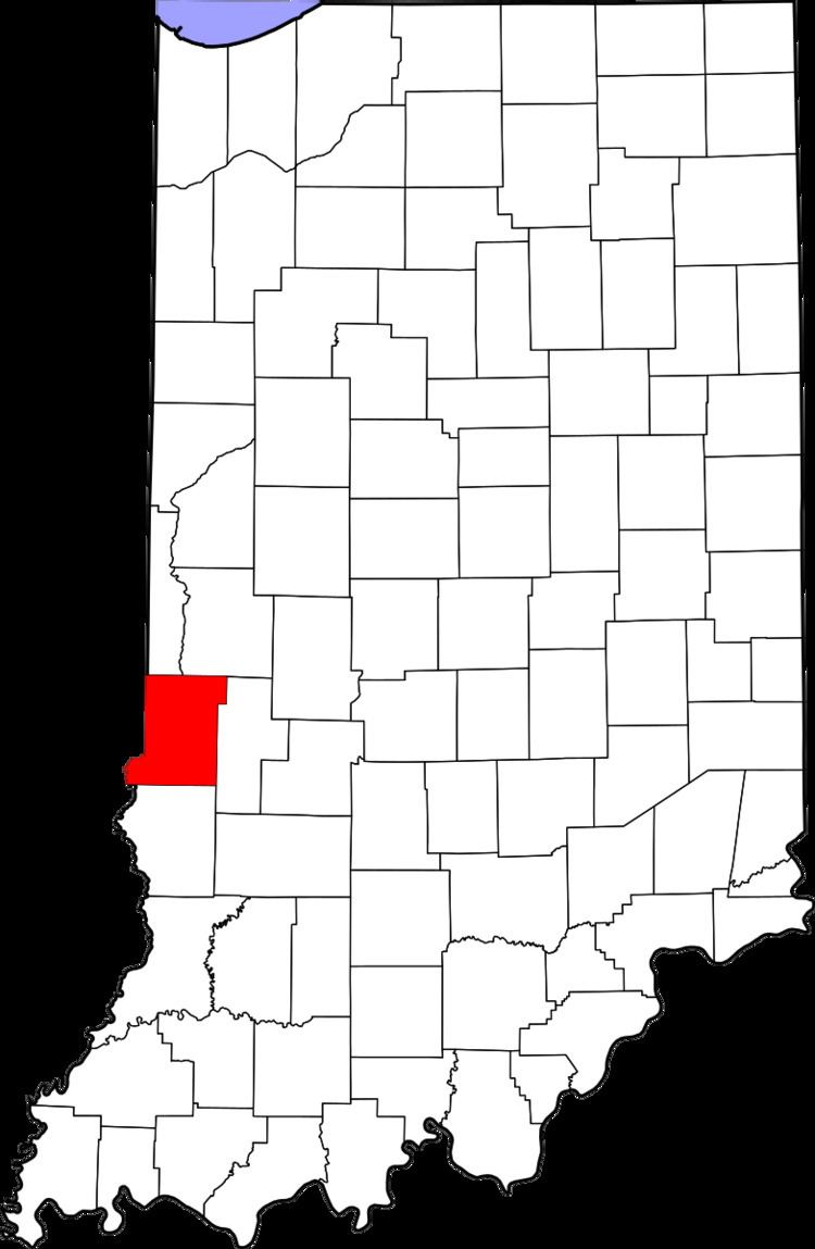
Youngstown is an unincorporated community in southern Honey Creek Township, Vigo County, in the U.S. state of Indiana.
Contents
Map of Youngstown, IN 47802, USA
It is part of the Terre Haute metropolitan area.
History
Youngstown was subdivided and made a village on March 31, 1868, by Chauncey R. Carr. It was a station on the Evansville & Terre Haute Rail Road, about seven miles south of Terre Haute. George Planett built the first business house in 1868, when he was made the first postmaster. The post office ran until it was discontinued in 1912. In 1890 the population was approximately 39.
Geography
Youngstown is located at 39°21′44″N 87°22′56″W at an elevation of 591 feet.
References
Youngstown, Indiana Wikipedia(Text) CC BY-SA