
Discharge 254 m³/s Basin size 4,100 km2 (1,600 sq mi) | Length 136 km Basin area 4,100 km² | |
 | ||
Main source Ōu Mountains, Akita and Iwate Prefectures1,024 m (3,360 ft) | ||
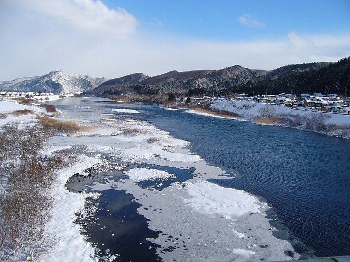
The Yoneshiro River (米代川, Yoneshirogawa) is a river in Tōhoku region of the northern portion of the island of Honshū in Japan. It is 136 kilometres (85 mi) long and has a watershed of 4,100 square kilometres (1,600 sq mi).
Map of Yoneshiro River, Japan
The river rises from Mount Nakadake and Mount Shikakudake in the Ōu Mountains and Mount Hachimantai near the border of Akita Prefecture with Iwate and Aomori Prefectures, and flows to the west through northern Akita Prefecture into the Sea of Japan at Noshiro, Akita.
References
Yoneshiro River Wikipedia(Text) CC BY-SA