
Country United States County Ellis Founded 1906 Elevation 625 m | State Kansas Township Big Creek Time zone CST (UTC-6) Local time Sunday 12:33 AM | |
 | ||
Weather 16°C, Wind S at 13 km/h, 79% Humidity | ||
Yocemento is an unincorporated community in Big Creek Township, Ellis County, Kansas, United States.
Contents
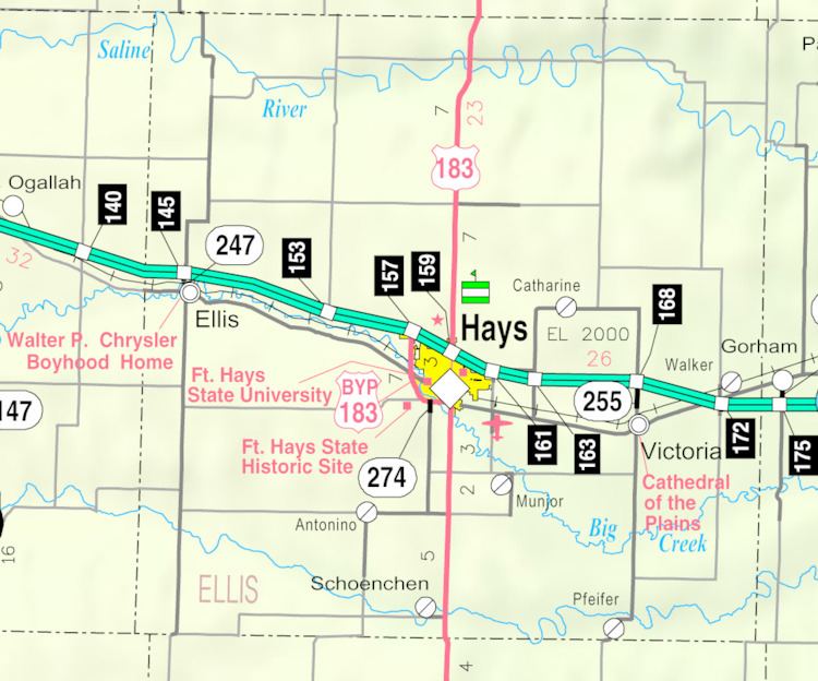
Map of Yocemento, KS 67601, USA
History
The U.S. Portland Cement Company constructed a cement mill at the site of Yocemento in 1906. In 1907, the company platted a town for the mill's workers, naming it Yocemento, a portmanteau of Yost, the company president's last name, and cement. A post office opened that same year. By mid-1908, the mill was operational, and the town included a general store, hotel, and restaurant. Many local residents employed at the mill were ethnic Hungarians who had constructed a Catholic church at the site in 1906.
In 1917, the cement company went bankrupt and sold the mill to a Denver-based competitor. The post office closed as well. The mill was dismantled, and residents began to leave the community. In 1931, the church building was moved to Buckeye, Kansas for use as a community hall. Today, what remains of the mill has been remodeled into family homes.
Geography
Yocemento is located at 38°54′26″N 99°25′26″W (38.9072335, -99.4239958) at an elevation of 2,051 feet (625 m). It is 1 mile (1.6 km) south of Interstate 70 and 5.5 miles (8.9 km) west-northwest of Hays, the county seat.
Yocemento lies on the south side of Big Creek in the Smoky Hills region of the Great Plains.
Transportation
The old alignment of U.S. Route 40, now a paved county road, runs southeast-northwest through Yocemento. Another paved county road, Yocemento Avenue, runs generally north-south through the community, connecting to an interchange with Interstate 70 to the north.
The Kansas Pacific (KP) line of the Union Pacific Railroad runs southeast-northwest through Yocemento, parallel to the old alignment of U.S. 40.