
Coat of arms Flag Selsoviets 14 Area 6,297 km² | Administrative center selo of Yenotayevka Rural localities 27 Founded 1925 | |
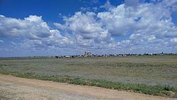 | ||
Yenotayevsky District (Russian: Енота́евский райо́н) is an administrative and municipal district (raion), one of the eleven in Astrakhan Oblast, Russia. It is located in the west of the oblast. The area of the district is 6,300 square kilometers (2,400 sq mi). Its administrative center is the rural locality (a selo) of Yenotayevka. Population: 26,786 (2010 Census); 27,625 (2002 Census); 29,093 (1989 Census). The population of Yenotayevka accounts for 28.4% of the district's total population.
Map of Yenotayevsky District, Astrakhan Oblast, Russia
References
Yenotayevsky District Wikipedia(Text) CC BY-SA