
West end: 231 Street Length 24.6 km West end 231 Street Major cities Edmonton | East end: Anthony Henday Drive Province Alberta East end Anthony Henday Drive | |
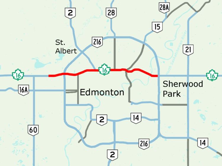 | ||
Yellowhead Trail is a major east-west highway in northern Edmonton, Alberta, Canada. The 24.6-kilometre (15.3 mi) segment of Highway 16 is a key commuter route for the bedroom communities of Stony Plain, Spruce Grove, and Sherwood Park. The road is Interchanges already exist at eleven intersections throughout the city limits, but traffic is often jammed at the many intersections still using traffic lights. Edmonton has plans to upgrade Yellowhead Trail to a freeway, but is awaiting required funding from the federal and provincial governments as the project is estimated to cost $1 billion.
Map of Yellowhead Trail, Edmonton, AB, Canada
On December 16, 2016 both the federal government and the province of Alberta contributed $241,600,000 to the project with the city paying the rest.
References
Yellowhead Trail (Edmonton) Wikipedia(Text) CC BY-SA