
GNIS feature ID 0469022 Local time Saturday 3:09 PM | FIPS code 19-94797 Elevation 313 m Population 2,273 (2000) | |
 | ||
Weather 22°C, Wind S at 32 km/h, 43% Humidity Area 84.38 km² (83.16 km² Land / 122 ha Water) Points of interest Don Williams County Park, Kate Shelley High Bridge, Holst State Forest | ||
Yell Township is one of seventeen townships in Boone County, Iowa, USA. As of the 2000 census, its population was 2,273.
Contents
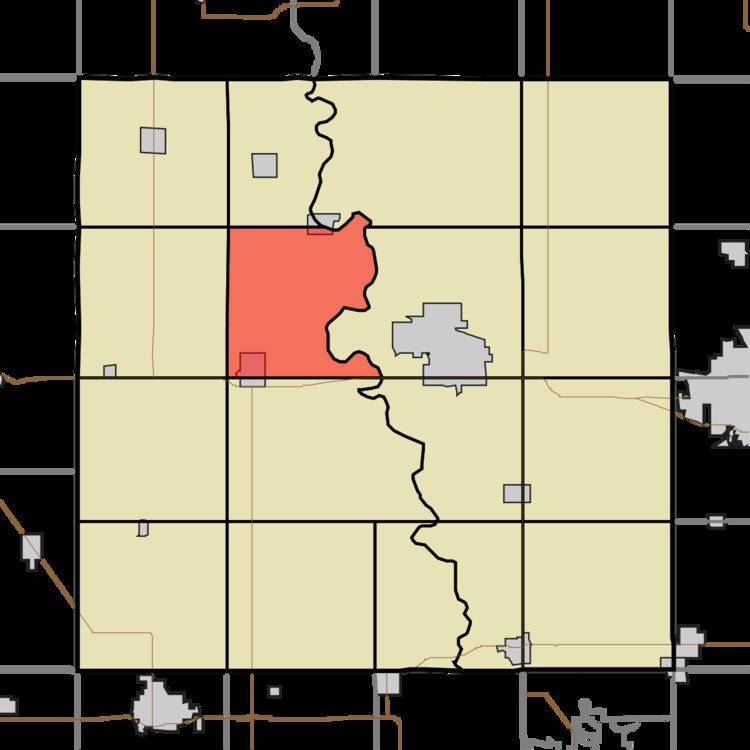
Map of Yell, IA, USA
History
Yell Township was organized in 1852. It is named for Colonel Yell, who fell at the Battle of Buena Vista.
Geography
Yell Township covers an area of 32.58 square miles (84.4 km2) and contains one incorporated settlement, Ogden. According to the USGS, it contains six cemeteries: Bluff Creek, Buckley, Hickory Grove, Milton Lott Grave, Mount Olive and Rose Hill.
References
Yell Township, Boone County, Iowa Wikipedia(Text) CC BY-SA