
Length 80 km | Country Tajikistan | |
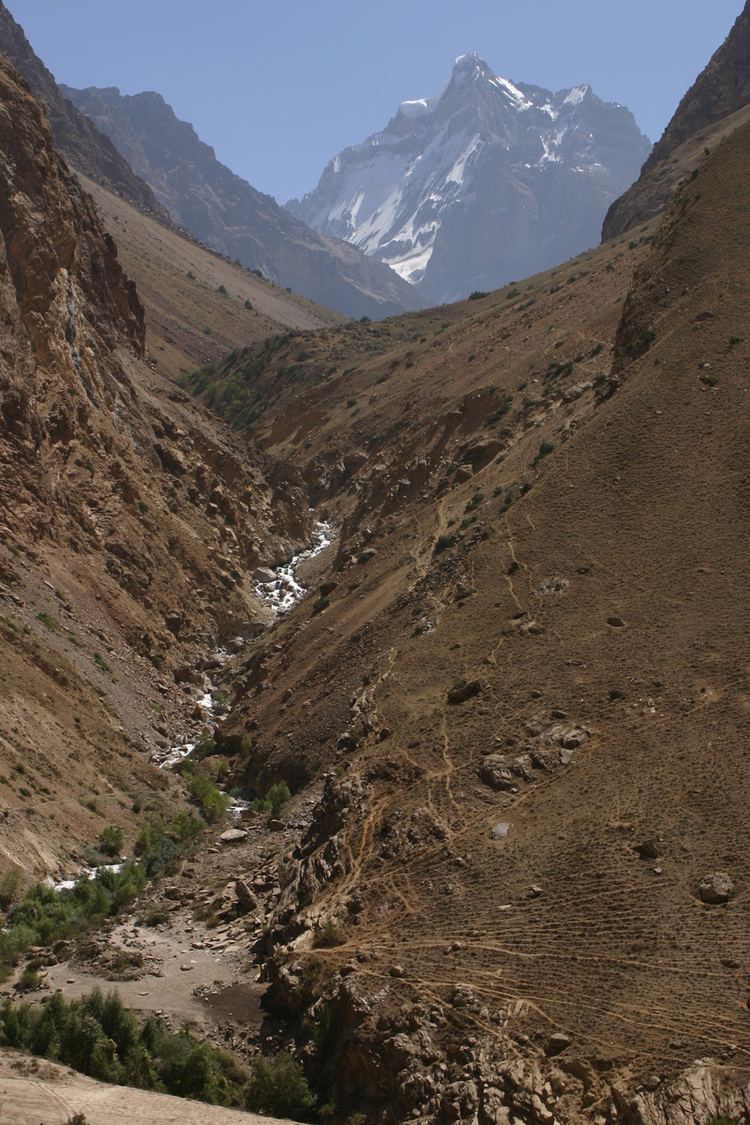 | ||
The Yazgulyam River (also spelled Yazgulem River) is a tributary of the Panj (upper Oxus) in Vanj district, western Gorno-Badakhshan, Tajikistan.
Map of Yazguelem, Tajikistan
It flows in a narrow valley or gorge of some 100 kilometres northeast to southwest, roughly 38°29′N 72°06′E to 38°13′N 71°23′E. It lies between two high mountain ranges, the Vanj Range to the north and the Yazgulem Range to the south. Its headwaters are near the Fedchenko Glacier. Settlements in the valley include Matraun, Bdyn, Anderbak and Dzhamak. The Yazgulyami inhabitants number about 4,000 (as of 1990, estimate for 1940 is about 2,000).
In 1996 during the Tajik civil war, there was some fighting in Yazgulyam Gorge between Islamic Movement of Uzbekistan mujahidin and Tajik troops.
References
Yazgulyam River Wikipedia(Text) CC BY-SA