
Elevation 6,974 m (22,881 ft) | ||
 | ||
Types of rock Slate, Sandstone, Limestone, Granite | ||
Yazgulem Range (Russian: Язгулемский хребет) is a mountain range of the western Pamir Mountains.
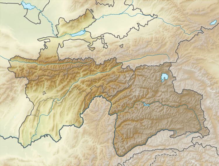
Map of Yazgulem Range, Tajikistan
It is located in Tajikistan's Gorno-Badakhshan Autonomous Province stretches for about 170 km between the Yazgulyam River and the Bartang River in the western Pamirs. The range rises in a north-eastern direction from the border with Afghanistan toward its highest elevation at Independence Peak, former 'Revolution Peak' (6,974 m). The average elevation ranges between 4,500 and 6,000 m. Glaciers cover about 630 km2 of the range, including the Fedchenko Glacier stretching northwards.
References
Yazgulem Range Wikipedia(Text) CC BY-SA