
Country Turkey Elevation 885 m (2,910 ft) Postal code 23180 Area code 0424 | Province Elazığ Province Time zone EET (UTC+2) Population 9,090 (2013) | |
 | ||
District Elazığ central district | ||
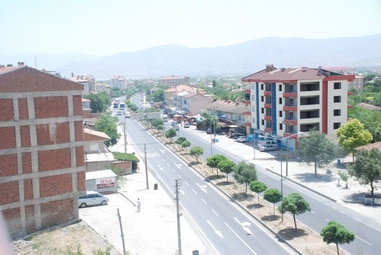
Yazıkonak (former Vertetil, meaning " rose garden") is a belde (town) in the central district (Elazığ) of Elazığ Province, Turkey. It is situated to the west of Keban Dam resorvoir at 38°37′N 39°18′E.The distance to Elazığ is 10 kilometres (6.2 mi). The population of Yazıkonak was 9090 as of 2013. The town is a relatively new settlement. Elazığ Airport which is just at the southwest of Yazıkonak contributed to the rapid increase in population. In 1986, it was declared a seat of township. Agriculture, cattle rising and light industries are among the economic activities of the town.
Map of Yaz%C4%B1konak Belediyesi%2FEl%C3%A2z%C4%B1%C4%9F Merkez%2FElaz%C4%B1%C4%9F, Turkey
References
Yazıkonak Wikipedia(Text) CC BY-SA